HTML
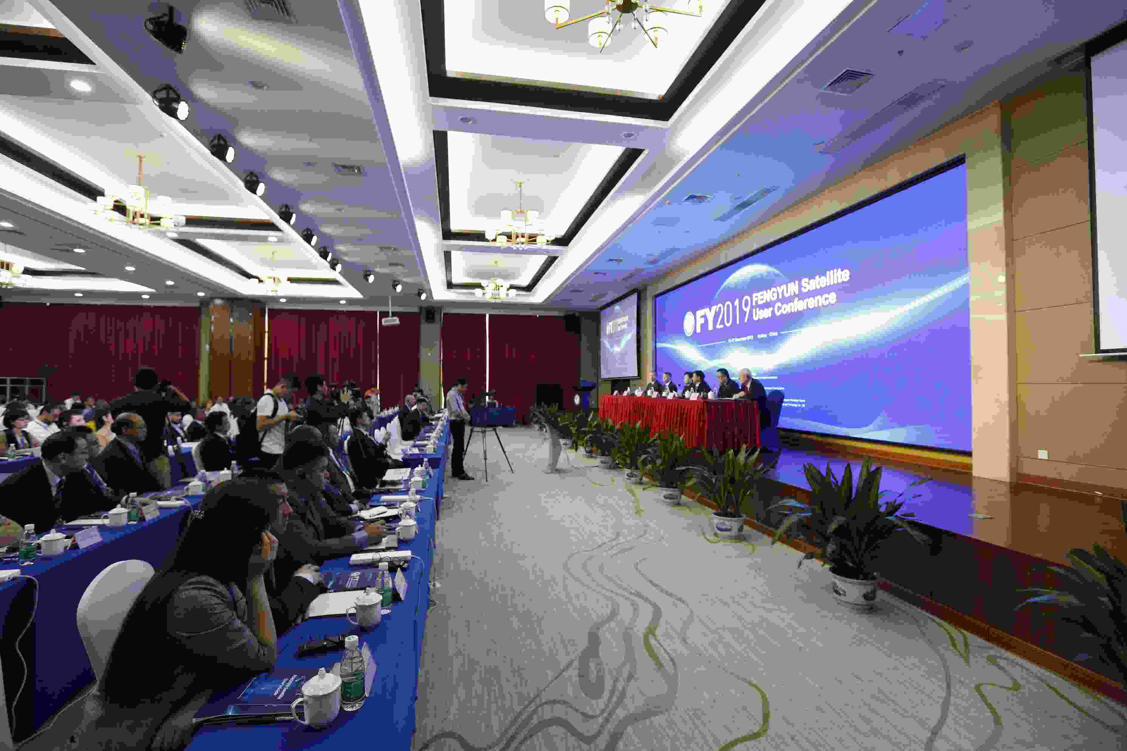
--> --> --> Figure1. Openning ceremany of the First Fengyun Satellite International User Conference (Photo taken by Jingtian LU)
The conference included one plenary session and three thematic sessions. In the plenary session, invited speakers from the CMA, CNSA, WMO, NOAA, EUMETSAT, and APSCO presented separate overviews of the Chinese Fengyun meteorological satellite program, the European meteorological satellite program, the United States meteorological satellite program, and the Chinese Gaofen satellite program, as well as APSCO activity in Asia and Pacific regions. In the three thematic sessions, Chinese and foreign representatives and experts entered into intensive discussions in areas that included global data sharing, application and services of FY satellites, international application needs, and global weather and forecasting applications, as well as global ecological environmental monitoring and applications. One sub-session discussed studies on big data and deep learning technology in relationship to their use in Fengyun satellite image generation and aerosol algorithm output. In addition, a Fengyun satellite international service delivery exhibition was held. As part of that exhibition users were shown how to access FY data and products via the FY-3 and FY-4 satellite direct broadcasting systems, the CMACast data broadcasting system, the Satellite Weather Application Platform (SWAP), and the Meteorological Information Combined Analysis and Process System (MICAPS).
Fengyun satellites have been adopted by the WMO for operational meteorological services and China has also become a member of the International Charter Space and Major Disasters (CHARTER) for international disaster prevention and mitigation. In the opening ceremony, Dr. Wenjian ZHANG, the Assistant Secretary-General of WMO, said that Fengyun meteorological satellites are playing an important role in WMO’s Integrated Global Observing System (WIGOS) and that the development of the Fengyun satellites is highly consistent with the WMO’s vision for the future space-based component of WIGOS. Dr ZHANG also stated that he hoped all countries would take full advantage of the application value of the Fengyun satellites to promote their own weather services and to help bring about positive socioeconomic gains. At present, the Fengyun satellite program benefits more than 100 countries and 2700 users with a space–ground integrated data sharing system.
Fourteen oral reports from different countries and regions were presented at the conference. Those presentations addressed satellite acquisition, including Fengyun satellite acquisition; independently developed satellite applications or applications via the SWAP platform; and their requirements to the Fengyun satellite. Somkuan TONJAN from the Thai Meteorological Department (TMD) showed their application of Fengyun satellite data in Thailand. He stated that Fengyun satellite data are very useful for Thailand because a coordinate position matches Thailand precisely, allowing TMD to use the products to monitor, via their Early Warning System, phenomena such as tropical storm tracks and areas of heavy rain. S. JAVZMAA from Environment and Monitoring of Mongolia (NAMEM) presented their utilization of Fengyun satellite data and products. NAMEM uses FY-4A satellite products to diagnose synoptic-scale weather patterns, track the growth of individual convective storms, differentiate high from low clouds, ice clouds from liquid clouds, and distinguish between low clouds, snow, dust, land and water surfaces.
A scene-dependent 1DVar (SD1dvar) algorithm has been tested for both microwave sounding instruments and hyperspectral infrared instruments onboard FY-3D. Results show that the SD1dvar algorithm, when using these FY-3D data, is able to retrieve reasonable thermal structures for tropical cyclones (Hou et al., 2019; Weng et al., 2020).
New-generation geostationary satellite imager data are being using in nowcasting-related activities, including convective initiation, thunderstorm top features and storm properties, mesoscale convective systems, and storm classification (Li et al., 2018). A convective storm occurrence prediction model has been developed using the Machine Learning technique, based on combined high-spatiotemporal-resolution GEO imager and short-range NWP data.
Acknowledgements. The authors sincerely appreciate all the participants and contributors to the First Fengyun Satellite International User Conference. This work was funded by the National Key R&D Program of China (Grant No. 2018YFB0504900, 2018YFB0504905).
